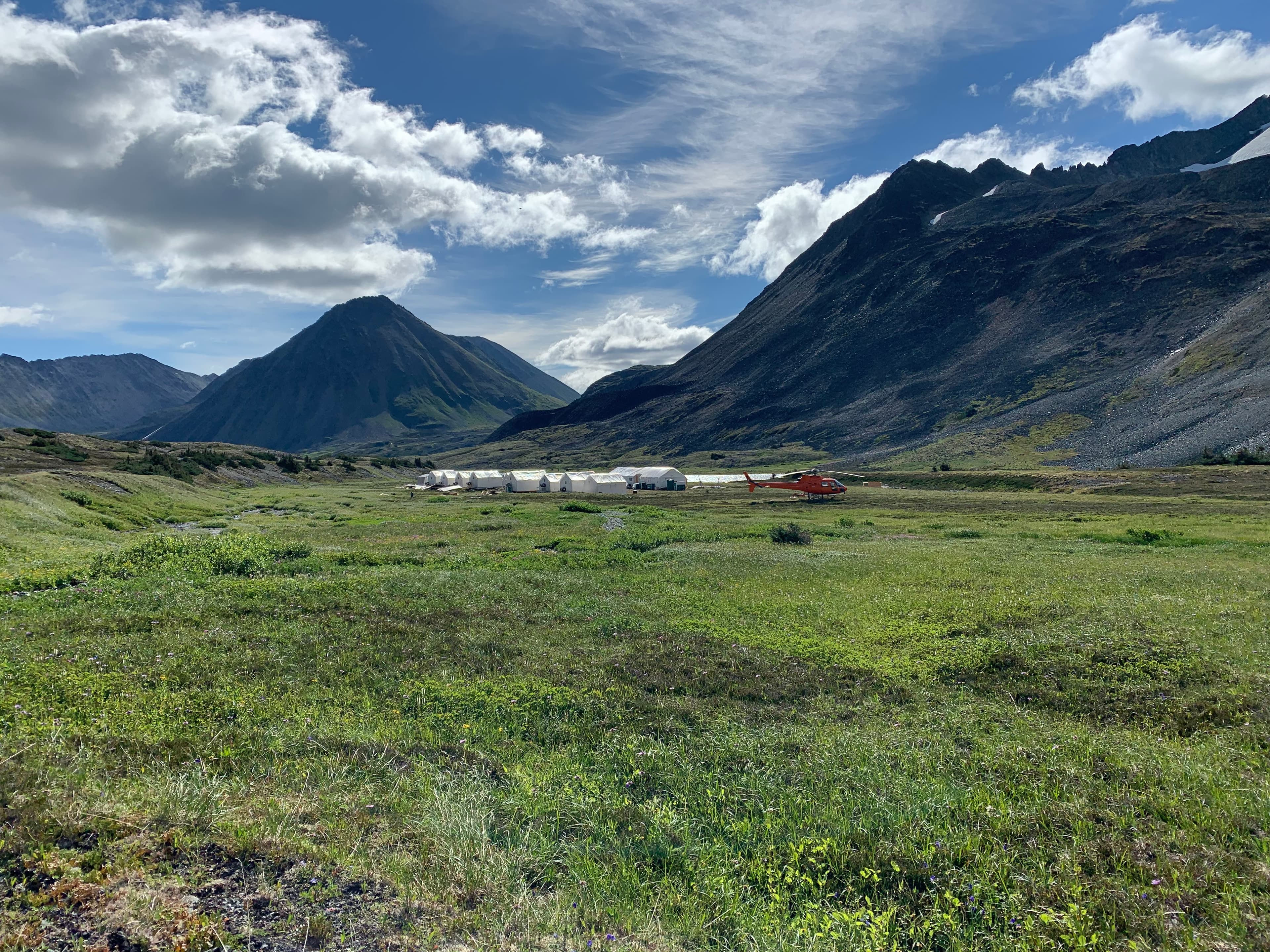
Pacific Ridge exploration camp in the mountains

British Columbia · 100% Owned

Redton

Numerous targets within kilometres of the Kwanika deposits.

Project Overview

Porphyry Potential
in Proven Terrain.

Redton is 100% owned, covers more than 3,460 hectares and adjoins the eastern boundary of Northwest Copper’s Kwanika deposit. The exploration target is a copper-gold porphyry deposit in a geological environment comparable with several major B.C. systems.

Multiple target areas have been identified across the property, including Redton North, Redton East, East Swan and Catchment Basin.

>3,460 ha

Property size

4

Named target areas

100%

Pacific Ridge owned

B.C.

Quesnel Terrane

Project Highlights

01

Adjacent to NorthWest Copper’s Kwanika deposit.

02

Pacific Ridge has identified a surface-geochemical target of similar size and orientation to the Kwanika Central Zone footprint, approximately 4.5 km east of Kwanika along an interpreted arc-transverse lineament.

03

Targets include Redton North, Redton East, East Swan and Catchment Basin.

Geological Context

A District-Scale Setting

Redton lies in the Quesnel Terrane, an island-arc belt known for major copper-gold porphyry deposits. Locally, volcanic and sedimentary units of the Takla Group and younger successions occur alongside the Hogem intrusive suite.

Complete Project Record

Technical Detail & History

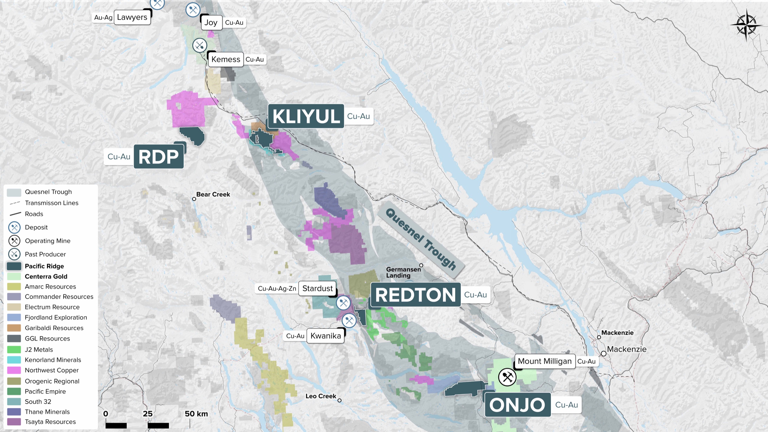
Regional claim map showing Redton, Kliyul, RDP and Onjo in British Columbia's Quesnel Trough
Redton regional claim setting

01

Property and Target

Redton is 100% owned, covers more than 3,460 hectares and adjoins the eastern boundary of Northwest Copper’s Kwanika deposit. The exploration target is a copper-gold porphyry deposit in a geological environment comparable with several major B.C. systems.

02

Project Highlights

  • Redton adjoins NorthWest Copper’s Kwanika deposit.
  • Targets include Redton North, Redton East, East Swan and Catchment Basin.
  • Pacific Ridge has identified a surface-geochemical target of similar size and orientation to the Kwanika Central Zone footprint, approximately 4.5 km east of Kwanika along an interpreted arc-transverse lineament.

03

Geological Setting

Redton lies within the Quesnel Terrane, a Mesozoic island-arc terrane juxtaposed against the ancestral North American continental margin. The belt includes Takla Group volcanic and sedimentary rocks, younger Chuchi Lake and Twin Creek successions, and the Late Triassic-to-Early Jurassic Hogem intrusive suite.