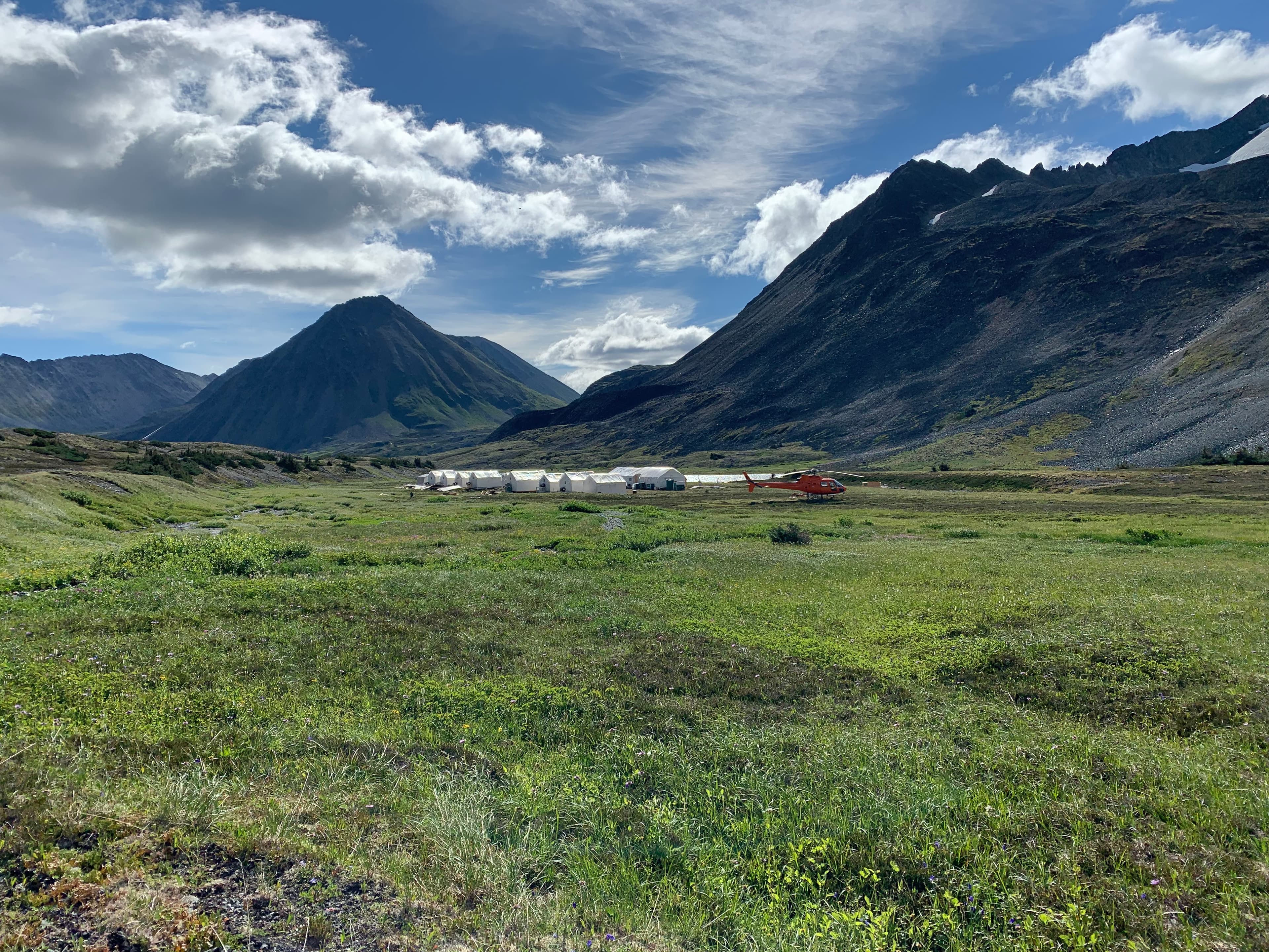
Pacific Ridge exploration camp in the mountains

Yukon · Under Option

Eureka Dome

A road-accessible gold project near Dawson City with geochemical evidence for an epithermal-style system.

Project Overview

A Defined Anomaly.
A Clear Follow-Up.

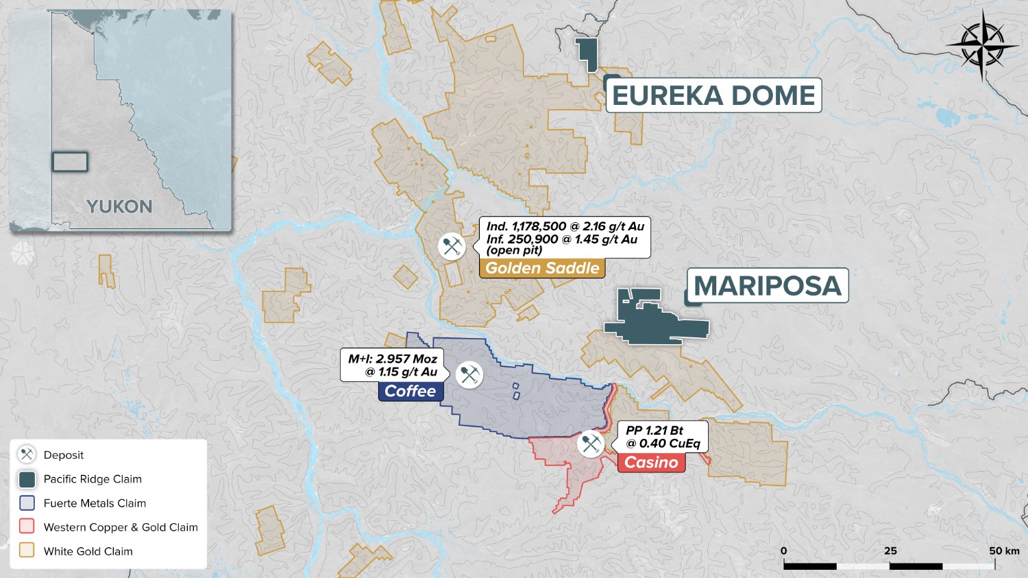
Eureka Dome consists of 76 quartz claims approximately 55 kilometres northeast of the Golden Saddle discovery. The property is accessible by road from Dawson City and is under option to Labrador Gold.

Historical work and Pacific Ridge sampling identified gold and pathfinder-element anomalies around the Eureka Creek fault zone, supporting an epithermal-style exploration model.

76

Quartz claims

55 km

From Golden Saddle

Road

Access from Dawson

14 g/t

Historic float sample

Project Highlights

01

Placer gold has been reported in many creeks draining the property.

02

Soil work defined a gold anomaly accompanied by arsenic, antimony and mercury.

03

The target is interpreted as structurally controlled, epithermal-style gold mineralization near the Eureka Creek fault zone.

Geological Context

A District-Scale Setting

Silicified and brecciated rocks, pathfinder-element geochemistry and gold-enriched drainages point toward a high-level alteration system. Detailed mapping, prospecting and trenching are the logical tools for locating the bedrock source.

Complete Project Record

Technical Detail & History

Yukon regional map showing Eureka Dome and nearby deposits
Eureka Dome regional setting

01

Property Summary

Eureka Dome is 100% owned by Pacific Ridge, consists of 76 quartz claims approximately 55 km northeast of Golden Saddle and is road accessible from Dawson City. The property is under option to Labrador Gold Corp. under an agreement announced May 11, 2026.

02

Exploration Evidence

Placer gold occurs in many creeks draining the property. Geochemical anomalies and silicified, brecciated rocks support a high-level epithermal alteration model; reported pathfinder values include arsenic to 3,000 ppb and mercury to 17 ppm.

Historical workers reported breccia float to 14 g/t gold and silt values to 2,190 ppb gold. Pacific Ridge reconnaissance defined a gold-mercury-molybdenum-antimony soil anomaly requiring detailed follow-up.

03

2017 Exploration Results

The 2017 soil survey defined a gold anomaly accompanied by arsenic, antimony and mercury. The source is interpreted as structurally controlled epithermal-style gold mineralization associated with the Eureka Creek fault zone.

Historical stream samples downslope of the anomaly ranged from 360 to 2,190 ppb gold. Detailed mapping, prospecting and trenching were identified as the next steps for locating the source.