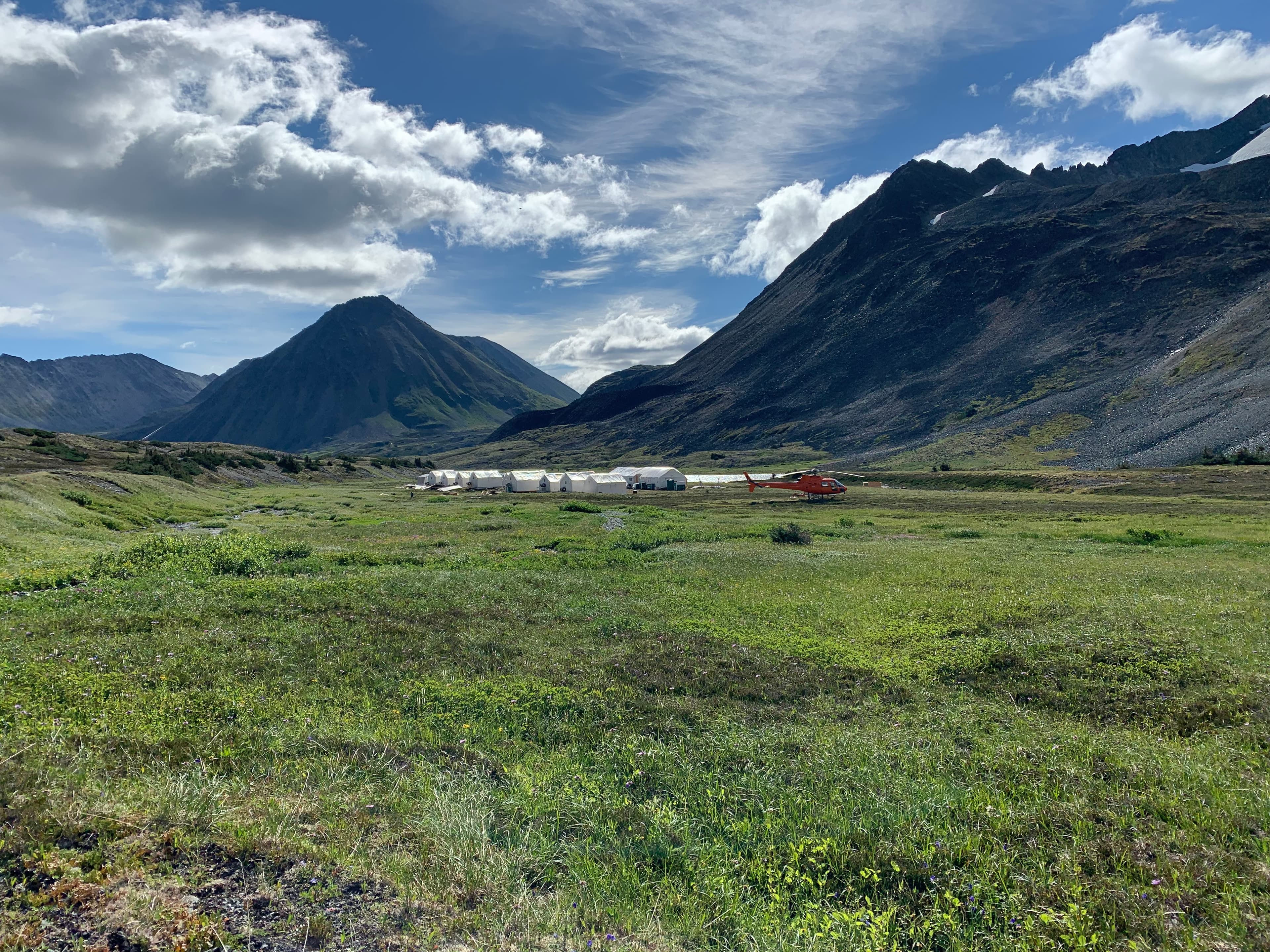
Pacific Ridge exploration camp in the mountains

British Columbia · Exploration Project

Onjo

A road-accessible gold-copper porphyry target adjoining the eastern boundary of the Mount Milligan mine.

Project Overview

Next to a Mine.
Built for Discovery.

Onjo spans more than 9,700 hectares in the central Omineca belt. The property hosts skarn and alkalic porphyry copper-gold mineralization associated with intrusive rocks cutting Takla volcanic rocks.

Pacific Ridge is reviewing historical exploration data to refine a surface program of mapping, sampling and potential geophysical work before future drill targeting.

>9,700 ha

Property size

Road

Accessible property

16 holes

Historic Noranda drilling

B.C.

Omineca belt

Project Highlights

01

Adjoins the eastern property boundary of Centerra Gold’s Mount Milligan mine.

02

Historical drilling encountered altered volcanic and intrusive rocks with copper-gold mineralization.

03

The working model is that earlier drilling may have tested the upper levels of an alkalic porphyry system.

Geological Context

A District-Scale Setting

Onjo is situated within the Quesnel Terrane, a long copper-gold belt that hosts numerous alkalic porphyry deposits. Its mineralization and host rocks share characteristics with the nearby Mount Milligan system.

Complete Project Record

Technical Detail & History

01

Target and Planned Exploration

Onjo targets a gold-copper porphyry deposit in the central Omineca belt and adjoins the eastern property boundary of the Mount Milligan mine.

Pacific Ridge is completing a comprehensive review of historical data in preparation for mapping, sampling and possible geophysical surveys designed to define future drill targets.

02

Project Highlights

The road-accessible property exceeds 9,700 hectares and hosts skarn and alkalic porphyry copper-gold mineralization associated with monzonitic phases of the Witch Lake intrusions cutting Takla volcanic rocks.

Historical mineralization, nearby skarn occurrences and re-logging support the interpretation that earlier operators may have encountered the upper levels of an alkalic porphyry system.

03

Exploration History

  • Skarn-type mineralization at the Taylor showing was discovered before 1960; copper-molybdenum exploration followed in the 1960s and 1970s.
  • Noranda and Placer Dome completed mapping, geochemistry, magnetic and airborne surveys between 1987 and 1992. Noranda drilled 1,659 m in 16 holes.
  • Reported Noranda intervals included 0.12% copper over 33 m, 0.07% copper over 79.7 m and 0.03% copper with 0.14 g/t gold over 40 m.
  • Later programs included IP, geological and geochemical surveys, seven Moondust drill holes, two Serengeti holes in 2009 and five more holes totalling 1,301 m in 2011–2012.
  • Orogen’s subsidiary acquired the property by staking in 2020 and completed compilation, mapping, geochemical reconnaissance and drill-core re-logging before Pacific Ridge acquired Onjo.

04

Regional Setting

Onjo lies in the Quesnel Terrane, a long belt hosting numerous alkalic porphyry copper-gold deposits. In the project area, Quesnel rocks lie between the Pinchi and Manson fault systems and occur near the Mount Milligan and Lorraine deposits.